
Cadastral & land registration
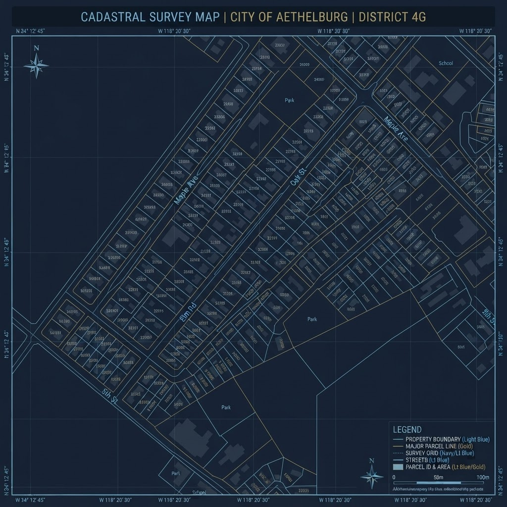
Parcel modelling, boundary management and registration workflows built on survey-grade data.
PostGIS / Survey / Parcels
GEOTA builds geospatial software for survey and engineering offices — connecting GIS, geomatics, cadastral data and AI so complex spatial information turns into decisions.
Choose a program to see what it does, how it works and how to get a licence.
Survey coordinate extractor
Pull every coordinate out of a survey sketch or title deed PDF — then send it straight to AutoCAD, Excel or Google Earth.
Each new GEOTA tool will appear here with its own page. Tell us which task you would like automated next.
Evidence-based studies and open platforms built on GEOTA’s geospatial work.
Consulting and delivery across the full geospatial chain — from the survey control point to the digital twin.
Parcel modelling, boundary management and registration workflows built on survey-grade data.
PostGIS / Survey / Parcels
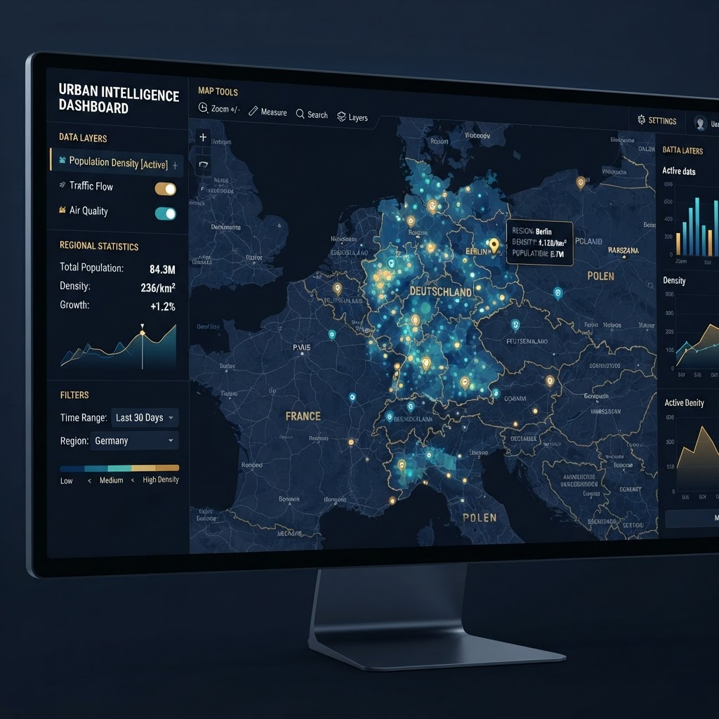
Data ingestion, geoprocessing and web mapping that support day-to-day operational decisions.
GeoServer / MapLibre / GDAL
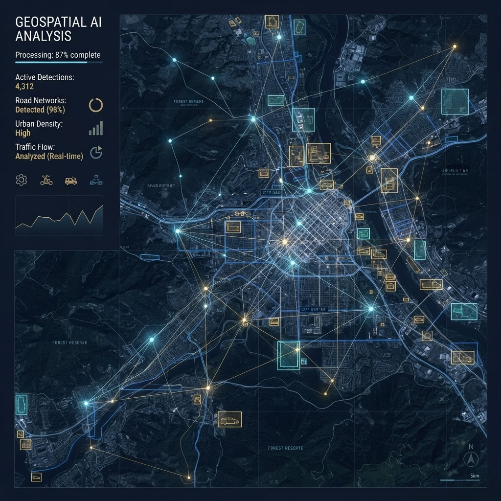
Automated feature extraction and imagery analysis that shorten the path from data to insight.
GeoAI / Python / Automation
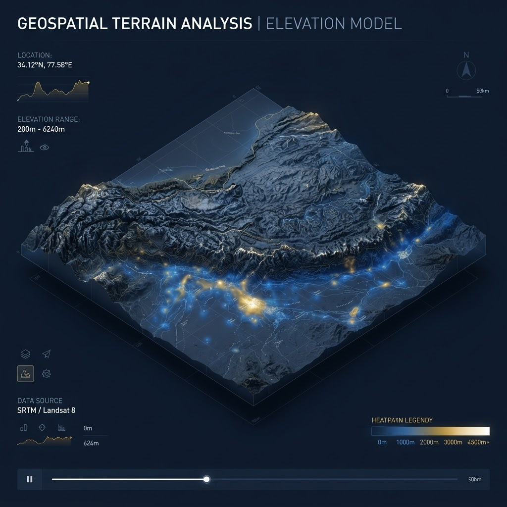
Terrain, city and asset models that mirror the physical world for planning and monitoring.
CesiumJS / 3D Tiles / Elevation

PMP-led delivery from scoping and data governance to deployment and handover.
PMP / Governance / Delivery
Each layer is chosen for rigour, performance and results you can reproduce.
Data modelling, coordinate systems and geoprocessing.
Fast web mapping built on open standards.
GeoAI that automates extraction and analysis.
Solid data foundations and disciplined delivery.